The hike to Pra Soccio is easy and not very long. This type of hike is useful to gain confidence with the difference in altitude and the wild environment typical of the Costiera dei Cech. Shortly: Elevation Gain: 564 m. Hiking Time: 2 hours for the ascent Difficulty: E Max Elevation: 1653 m. Trail: without…
Category: Hiking
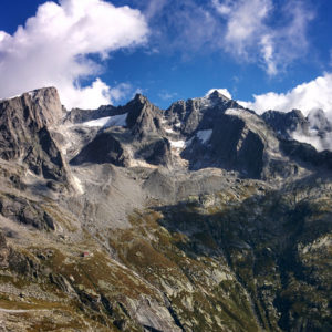
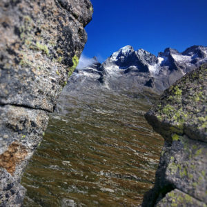
Hiking Valtellina, Costiera dei Cech and Val Masino.
Hike Regurs – Fontanili, starting point Caspano
The hike to Regurs and Fontanili, two places of the Costiera dei Cech, is easy and panoramic. Shortly: Elevation Gain: 560 m. Hiking Time: 2/3 hours uphill, 1 h downhill Difficulty: E Max Elevation: 1400 m. Trail: well marked by white and red signs and trail markers Caution: the name of places cited, in particular…
Hike along the Pista Tagliafuoco, fire break track, of the Costiera dei Cech
The hike along the Pista Tagliafuoco, fire break track, of the Costiera dei Cech takes place mainly on unpaved roads and it’s possible to traverse it by walk or by mountain bike. Easy trail. Shortly: Elevation Gain: about 700 m. Hiking Time: 4/5 hours by walk, less by MTB Difficulty: E Max Elevation: 1500 m.…
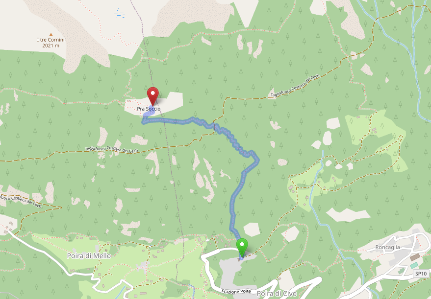
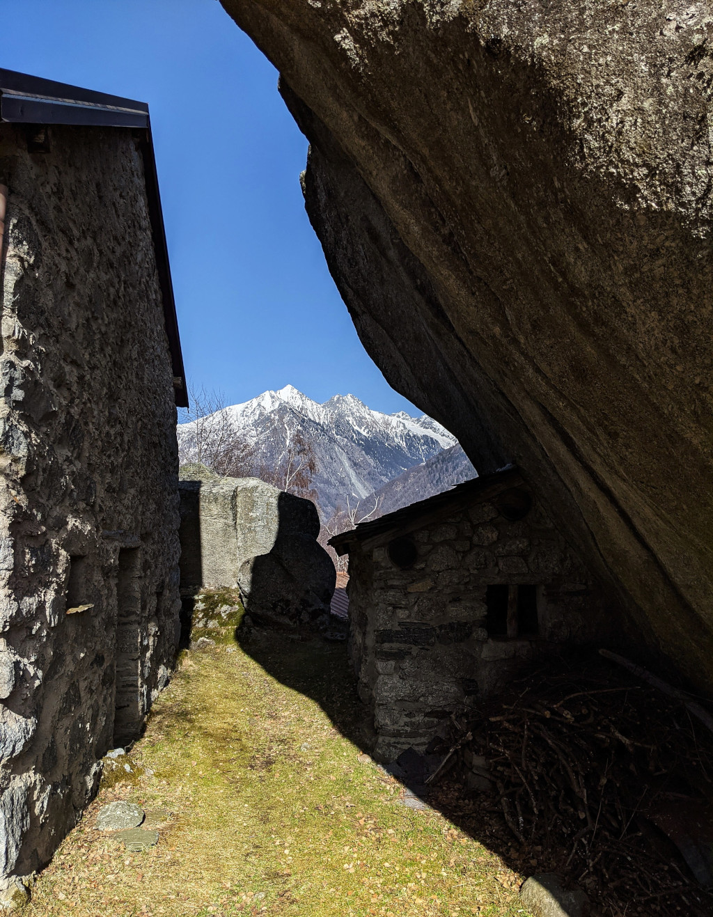
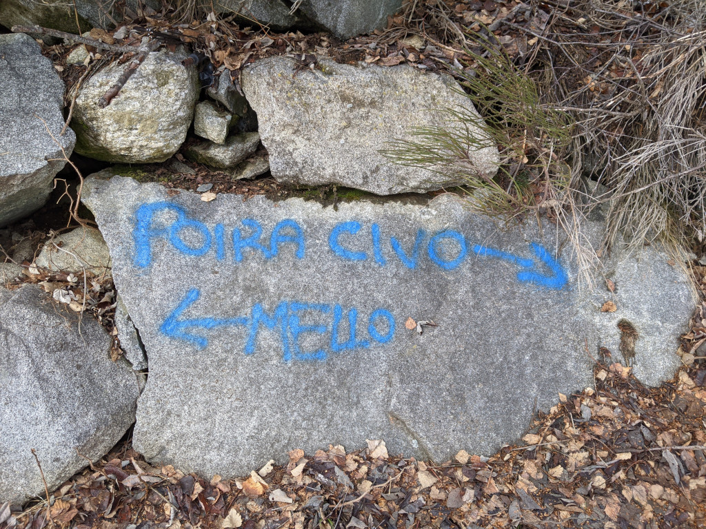
Short hike: Poira and Ledino loop
A short and easy hike for those who know the area, perfect in the middle seasons. Few signs. Shortly: Elevation gain: about 400 m. Hiking time: 2 hours Difficulty: E Max elevation: 1400 m. Trail: not clear with few signs, easy if you know the area Warning:Trekking is an inherently dangerous activity. The hike here…
Ca’ dei Lurenzat – Pra Sceresa – Fontanili trail
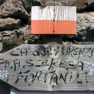
The trail Ca’ dei Lurenzat – Pra Sceresa – Fontanili connects the village of Caspano with the locality of Fontanili and the breakfire road of the Costiera dei Cech. Little frequented! Shortly: Elevation Gain: 420 m. Hiking Time: 1 hour Difficulty: E Max Elevation: Pra Sceresa, 1320 m. Trail: marked by white and red signs,…
A Loop Around the Torre Bering, Hiking Along the Costiera dei Cech
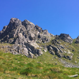
The Torre Bering loop is a rarely frequented hike, along isolated places without traces of passage in some spots. Only for experts! Shortly: Elevation gain: 1323 m. Hiking time: 4/5 hours Difficulty: EE Max elevation: Eastern Passo del Colino 2412 m. Trail: marked by white and red signs, not always visible. Without trail markers or…
Hike Val Merdarola to Valle dell’Oro – Bocchetta di Medaccio
The hike from Val Merdarola to Valle dell’Oro, through the Bocchetta di Medaccio, is a long and savage trail that goes through few popular areas and sometimes few signed. It’s also possible to follow the trail in the opposite direction. Shortly: Elevation gain: 1136 m. Hiking time: about 8 hours Difficulty: EE Max elevation: Bocchetta…
Hike to Passo dell’Oro – Valle dell’Oro
Passo dell’Oro, 2574 m. lies at the extremity of the Valle dell’Oro between the Val Masino and the Val Codera. Shortly: Elevation gain: 1400 m. from Bagni di Masino or 475 m. from Rifugio Omio Hiking time: 4 hours from Bagni di Masino – 1,30 hours from Rifugio Omio Difficulty: E Max elevation: 2574 m.…
Hike Val Qualido – Valle di Zocca, through the Passo Averta
The hike from Val Qualido to Valle di Zocca, through the Passo Averta towards the Rifugio Allievi – Bonacossa, is very long and panoramic. Only for experts, accessible during the summer. Shortly: Elevation gain: 1464 m. Hiking time: 8 – 10 h Difficulty: EEA (sections with chain) Max elevation: Passo Averta 2540 m. Trail: marked…
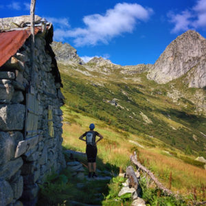
Hike Rifugio Omio to Rifugio Gianetti, through Passo del Barbacan
Bagni di Masino → Rifugio Omio → Passo del Barbacan → Rifugio Gianetti → Bagni di Masino. Amazing and long hike, accessible also in the opposite direction. Shortly: Elevation gain: 1426 m. Hiking time: 8 – 10 hours Difficulty: EEA (sections with chain) Max elevation: Passo del Barbacan 2598 m. Trail: n° 21 marked with…